- Client
- Engin.AI
- Location
- USA
- Industry
- Road Inspection
- Period
- Early 2025
15 days
until the measurement module was delivered, including discussions and revisions
2 days
until the first working version of the data processing
Starting point
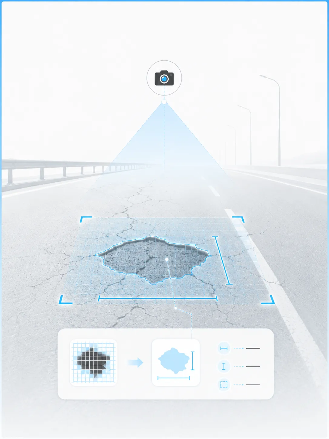
Engin.AI already had a system that detects cracks, potholes and other damage in camera images. Two things were missing: converting pixels into real-world dimensions on the road surface, and clean, structured data instead of raw segmentation files.
What we built
Measurement module: The camera is calibrated on site to the road plane using four corner points. A perspective transformation then provides the length and area of every instance of damage.
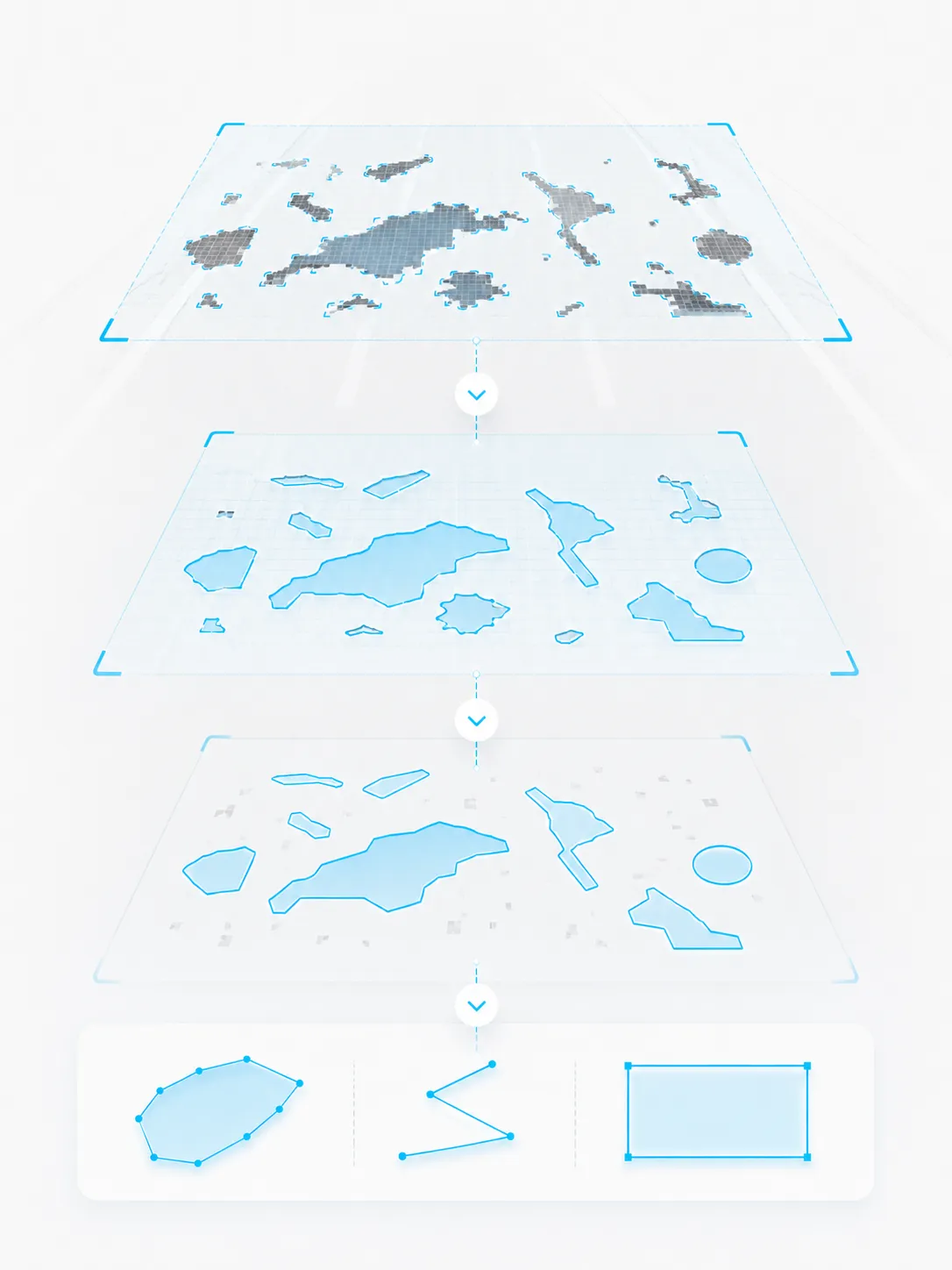
Data processing: Contours are generated from the segmentation masks, cracks are represented as polylines, and everything is exported as JSON with damage type and coordinates.
Result
The measurement module was delivered in 15 days, including discussions and revisions. A first working version of the data processing was ready after 2 days and was refined afterwards.
Technologies